With Churchfields Farm situated in such a picturesque location, a vast range of walks are available for all types of abilities.
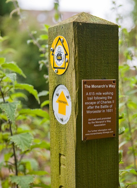
Surrounding Churchfields you will find Worcestershire City Council yellow circular plaques, all of which are public footpath, outlined throughout Churchfields & Salwarpe village.
Whether you are travelling by foot, wheels or with four legged friends, all are welcome. If you are a larger group of cyclists or walkers advanced notice is always greatly appreciated.
We have bike racks available for your use.
If you are looking for a 30 minute walk or a 6 hour walk, you are able to choose your own route to suit you.
For the enthusiastic walker The Worcestershire walk is rated easy/moderate, takes roughly 6 hours to complete over 11 miles, but gives you a fantastic views around Ombersley, Droitwich canal, Salwarpe & the River Severn.